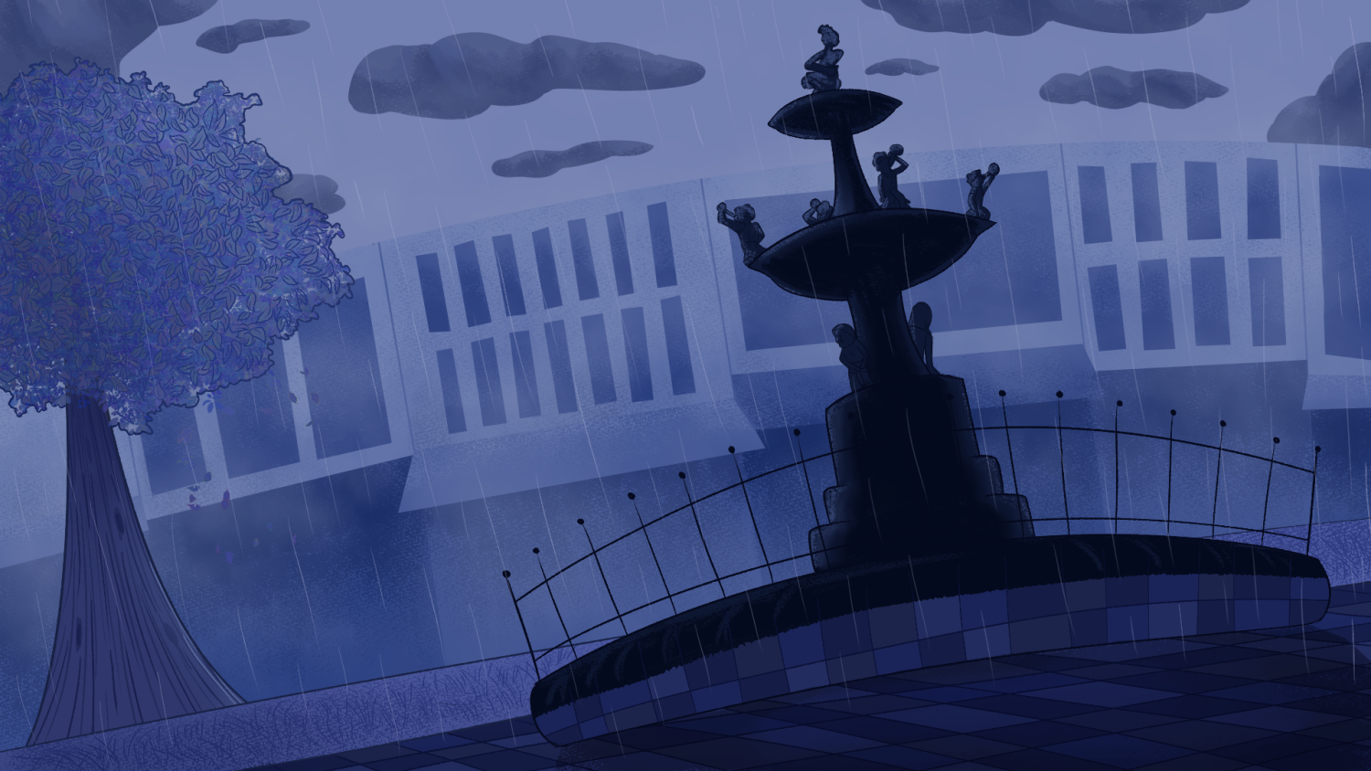
According to the University of Kentucky Department of Plant and Soil Sciences, this past August, we experienced one of the driest Augusts ever recorded in Kentucky history.
This is an intense turnaround from the beginning of the year through July, which is our “third-wettest January-to-July period on record,” according to the University of Kentucky Department of Plant and Soil Sciences. Residents experienced quick and dramatic shifting weather as well as two major arctic plunges around Nov. 10 and Thanksgiving weekend.
For some, like senior Hanna Chancellor, the changing weather brings a spark of enjoyment during the stress of finals. She said she enjoys the daily surprise that is Kentucky weather.
“I think it’s always fun, I like checking the weather in the morning,” Chancellor said. “Me and my roommate, we wake up at the same time. She’ll ask what the weather is today, and every day it’s honestly wild, and I think that’s been really funny.”
An arctic plunge or blast, according to Scientific Error, is a fast-approaching, frigid air mass that is pushed down from the Arctic regions. This weather pattern occurs when the polar vortex, a low-pressure area of cold air that normally sits over the North Pole, is disrupted. According to the Scientific Error, this can cause the jet stream to become wavy, allowing for frigid air to spill out of the Arctic and travel south.
“Whenever it got freezing cold out of nowhere, I still only had shorts, t-shirts and some sweatshirts,” Chancellor said.
Professor and Kentucky Climatologist Jerry Brotzge says this is just the beauty of Kentucky weather.
“During what we call transition months, the jet stream moves a lot further to the south, for example, in the fall and especially the spring,” Brotzge said.
This means that a whole host of weather systems are moving through the region. Brotzge said these weather systems pull warm, moist air from the south and then, after moving through cold and dry air, follow behind it.
“There are certain, what we call teleconnections, where there’s certain climate phases that can lead to either more or less snow for Kentucky,” Brotzge said. “Currently, what we call ENSO, the El Niño Southern Oscillator.”
While differentiating weather may be a bliss for some, for senior Talaya Guest, said she experiences a swelling dread as the chilly season arrives.
Guest said that not much other than frostbite and bad moods resonate with her during the winter months. She said this dread of winter is for a couple of reasons: her dislike of the cold and her unfortunate incidents of slipping on ice on campus.
According to the National Oceanic and Atmospheric Administration, El Niño and La Niña are climate patterns in the Pacific Ocean that affect weather patterns worldwide. Normal conditions in the Pacific Ocean blow trade winds west along the equator, which takes warm water from South America towards Asia. According to their website, cold water rises from the depths to replace that loss of warm water; this process is called upwelling. El Niño and La Niña are opposing weather patterns that break these normal conditions.
“A little history, they discovered these patterns off the South American coast,” Brotzge said. “They noticed that some years fishing was really good, some years fishing was bad, and they discovered that in what we would call an El Niño year, the fishing was pretty poor.”
Brotzge said that this is because El Niño has a severe impact on marine life. The process of upwelling brings cold water from the depths of the ocean, he said, while also bringing up tons of nutrients along with it. During El Niño, upwelling weakens or stops altogether.
According to the National Oceanic and Atmospheric Administration, a La Niña advisory was released on Monday, Dec. 1. The report said that it is favored to continue into the winter with a transition to El Niño anywhere from January to March of 2026.
“During the summertime, the air is warmer, so it holds more moisture, along with the spring bloom and a lot of evaporation of water from the oceans in the Gulf of Mexico,” Brotzge said. “The more water you have in the atmosphere, the less temperature variability you’ll have.”
The less moisture in the air, the higher the potential there is for dramatic temperature and weather swings, Brotzge said. With the incredibly dry November that we’ve experienced comes the incredibly drastic and quick weather changes.
Brotzge said that as La Niña develops and then weakens into 2026, the state can expect more variability, making close attention to forecasts a vital part of daily routines.